April 2020
Baseline Remedial
Investigation Wk Plan
SUMMARY
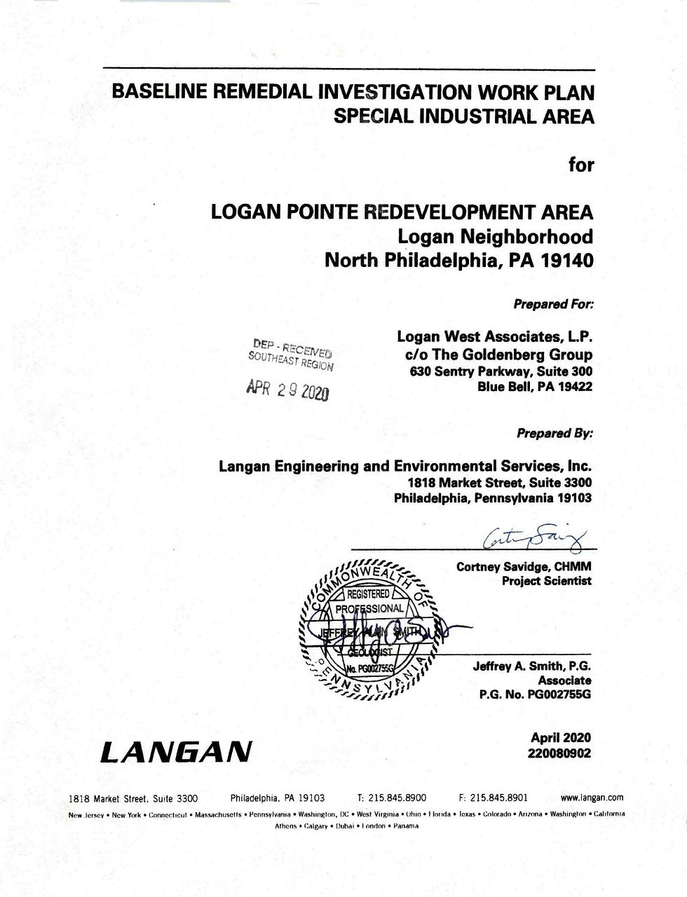
This is a Baseline Remedial Investigation Work Plan for the Logan Pointe Redevelopment Area in North Philadelphia. Langan Engineering prepared it for Logan West Associates / The Goldenberg Group (TGG). The file is dated April 2020, and the PA DEP received stamp reads April 29, 2020.
PURPOSE
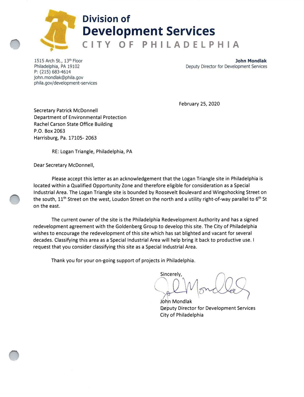
The plan asks PA DEP to treat the 46-acre site as a Special Industrial Area (SIA) under Pennsylvania's Act 2 land recycling program. That designation gives the redeveloper and later users protection from environmental liability without cleaning up to residential standards. The site qualifies because it sits entirely in a federal Qualified Opportunity Zone, and state and city letters confirming that are in Appendix A, and posted below. It also apparently had past industrial uses.
Planned uses are commercial, light industrial, institutional, retail and open space, consistent with the site's CMX-3 zoning.
PAST CLEANUP
In 1999, EPA found high lead in the surface soil, with averages up to 22,300 mg/kg. Under a 2000 agreement with EPA, the city may have removed the top 12 inches of soil in six areas (about 5 acres) and replaced it with clean fill. EPA closed the matter in 2001. Langan never received the completion report and plans to request it under the Freedom of Information Act.
ENVIRONMENTAL CONCERNS (RECs) FOUND
-
Fill across the whole site, with lead and arsenic.
-
Former gas station at 800 W Wyoming Ave. Two gasoline tanks remain in a vault. Three older tanks, described as "leaking" in a 1971 permit, may still be under the old basement.
-
Bakery heating oil tank at 4747 N 11th St. The tank is confirmed in place, and a small, localized leak was found.
-
922 Courtland St. Permit records show an underground tank and a 1948 dry cleaning machine. The scan was inconclusive because steel-reinforced concrete blocked it.
-
Two former gas stations off-site (4800 N 9th St and 4735 N Marvine St).
-
REC-7, a 1933 500-gallon heating oil tank at 4767 N 7th St. This one sits on the ~4 acres added after 2015 and hasn't been investigated.
2015 RESULTS
The work included a scan for buried tanks and 31 test pits, with samples from 9 of them.
-
No petroleum compounds above state standards anywhere, including around the tanks and the leaking bakery tank.
-
At one former EPA cleanup area (L-TP-7), lead was above the residential standard at every depth, rising from 679 to 2,180 mg/kg with depth. It was also above the soil-to-groundwater standard.
-
Arsenic (14.5–16 mg/kg at 8–9 ft) and vanadium in the fill were slightly above residential limits but below non-residential ones.
-
No groundwater was reached (other studies put it at 21–42 ft). Groundwater isn't sampled because the city's drinking water comes from rivers.
WHAT'S ACTUALLY PROPOSED
Langan says the site is essentially already characterized. The only new fieldwork is a ground-penetrating radar and metal-detector scan of the REC-7 parcel. The plan for the site as a whole:
-
Close or make safe all known and suspected tanks, which could be up to 8.
-
Cap the whole site with buildings, paving, or 2 ft of clean soil in landscaped areas.
-
Record an environmental covenant to keep the cap in place.
Vapor intrusion and ecological risk are ruled out. A Baseline Environmental Report will follow, and it becomes the basis for a Consent Order and Agreement with DEP.
NOTIFICATION
The Notice of Intent to Remediate went to DEP on April 1, 2020. It covers lead, arsenic and vanadium, and the 30-day public comment period ran to May 4, 2020.
Two issues in the report itself:
-
It says the city removed "9 million tons" of lead-impacted soil. That can't be right for 12 inches over about 5 acres, which works out to roughly 12,000 tons, so it's probably a typo for about 9,000.
-
It gives the maximum fill depth as 45 ft in some places and 40 ft in others.